i-Boating : Marine Navigation Charts & Lake Maps GPS
Read our comprehensive review of i-Boating, a professional-grade marine GPS app offering offline vector charts, lake depth maps, and smart auto-routing.
The Ultimate Offline Marine GPS and Lake Mapping Solution
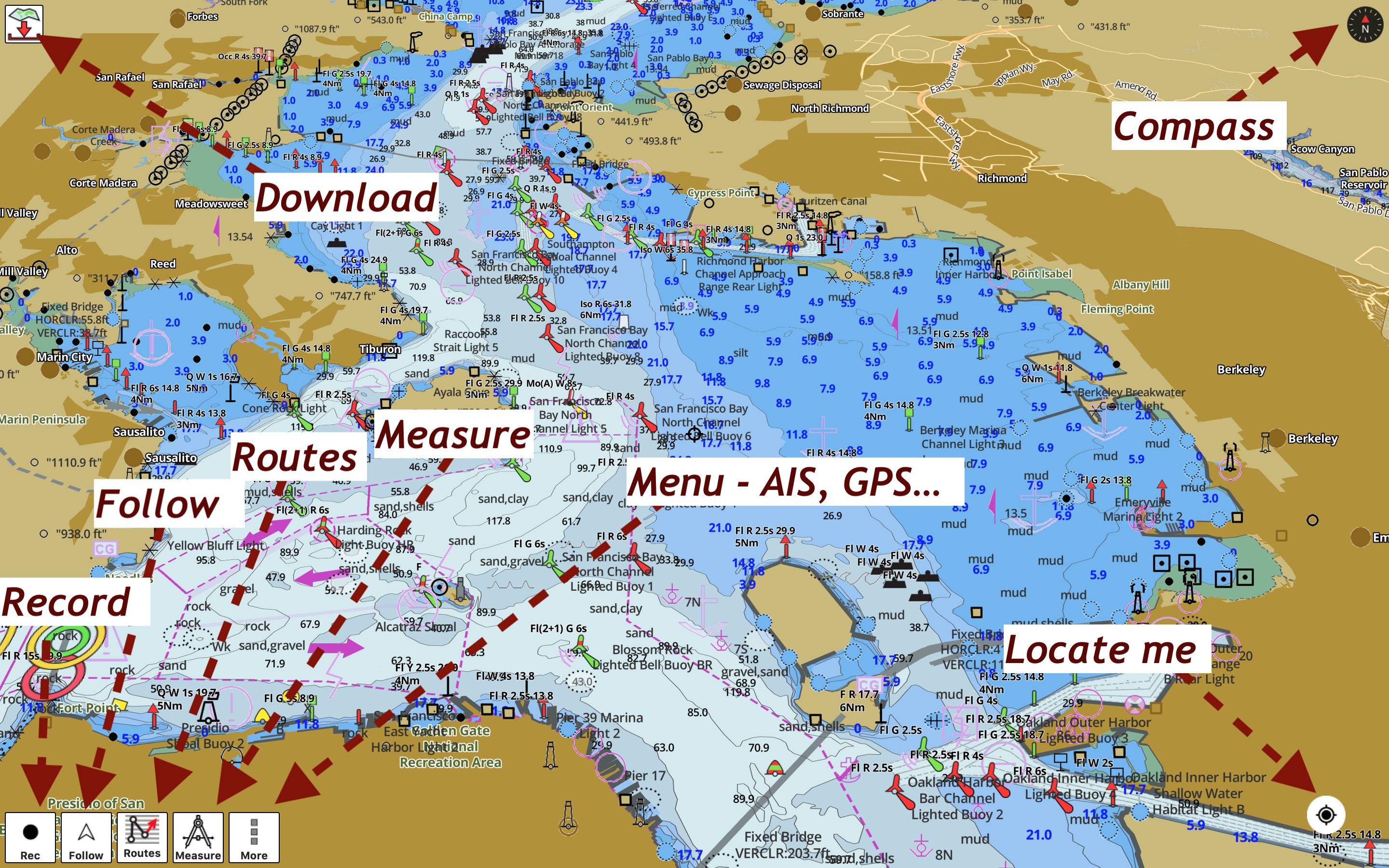
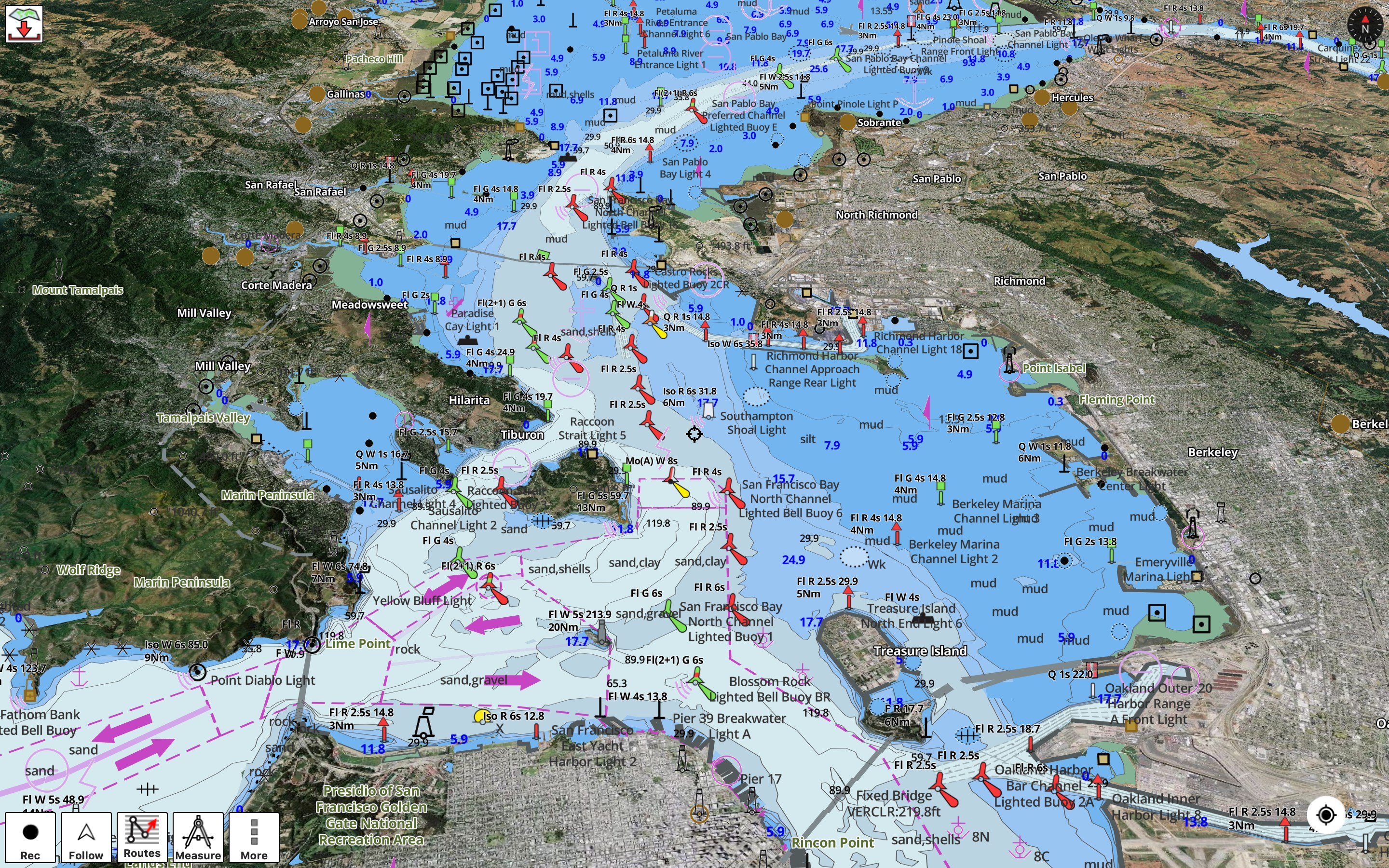
For mariners, anglers, and water sports enthusiasts, having access to reliable, offline navigation data is a safety priority. The i-Boating : Marine Navigation Charts & Lake Maps GPS app by Bist LLC stands out in the crowded field of marine navigation apps by delivering fully offline, hardware-accelerated vector charts. Unlike traditional raster maps that pixelate and lose text legibility upon rotation, this Windows application ensures that depth labels and maritime text remain perfectly upright and readable at any angle.
Designed for diverse aquatic activities—including coastal sailing, inland river cruising, freshwater fishing, and kayaking—the software integrates high-definition bathymetric data with advanced trip-planning tools, making it a robust alternative to dedicated hardware chartplotters.
Comprehensive Global Chart Coverage
One of the strongest selling points of this software is its vast, seamless library of pre-loaded and downloadable maps. Users gain access to a massive variety of maritime data sources, including:
- North America: Complete NOAA ENC coverage, USACE inland river maps, and detailed fishing maps for over 7,000 freshwater lakes in the US and Canada (featuring high-definition 1ft/3ft depth contours where available).
- Europe & UK: Official UKHO charts for the United Kingdom and Ireland, BSH charts for Germany, and extensive coverage of inland European waterways like the Rhine and Danube.
- Global Regions: Detailed marine mapping for Australia, New Zealand, Brazil, Scandinavia, the Mediterranean, the Caribbean, and more.
Advanced Navigation and Intelligent Auto-Routing
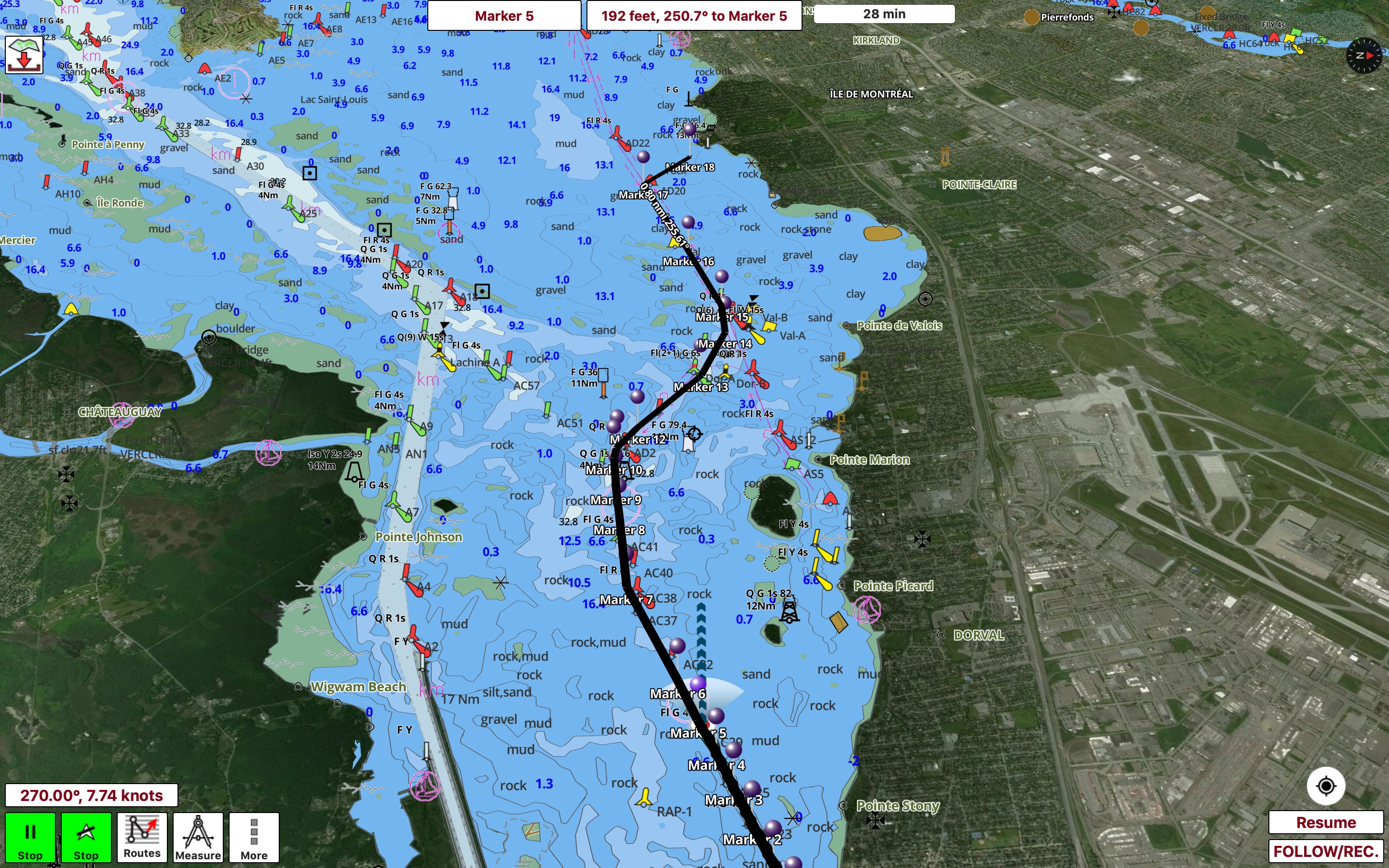
The i-Boating : Marine Navigation Charts & Lake Maps GPS application is engineered with professional-grade safety features that assist you from slip to slip. It is the first marine GPS application to offer route assistance with real-time voice prompts. If you veer off course or head in the wrong direction, the app immediately alerts you.
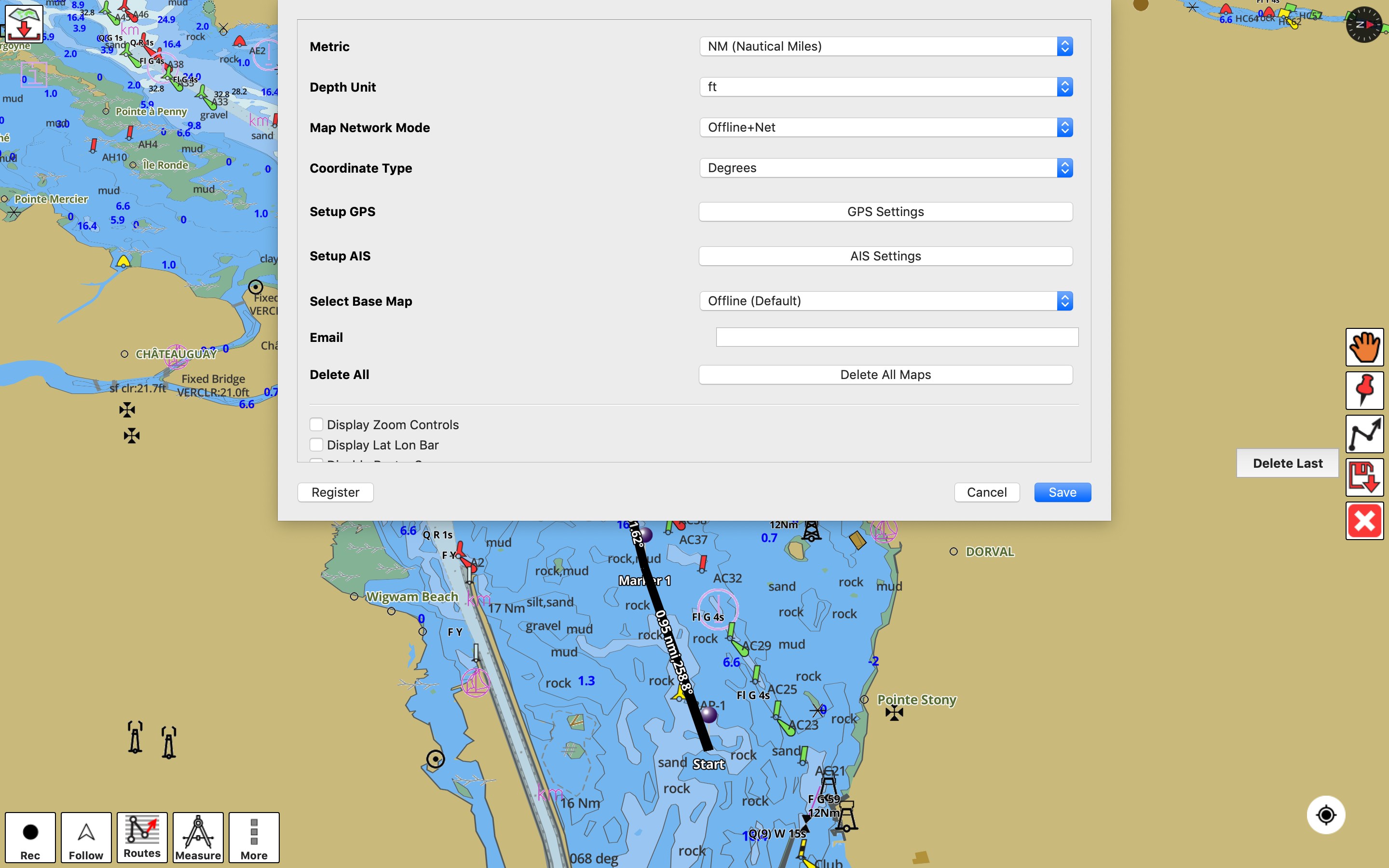
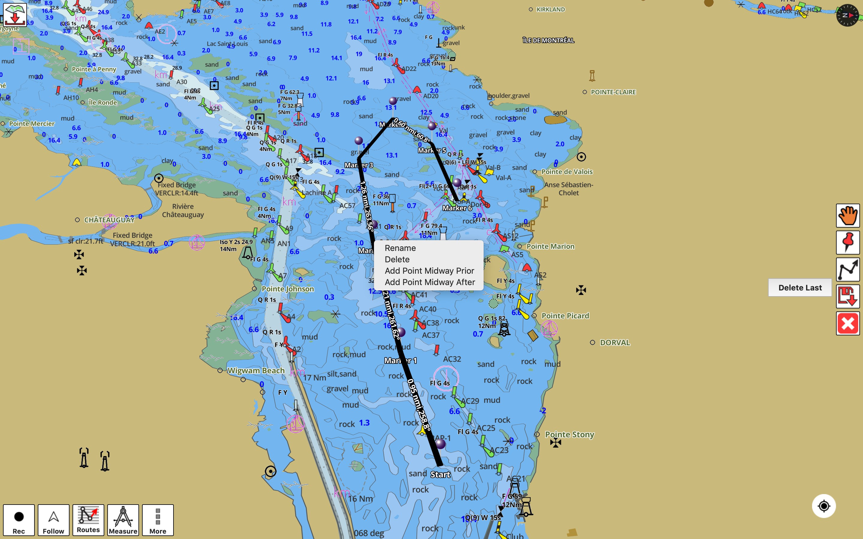
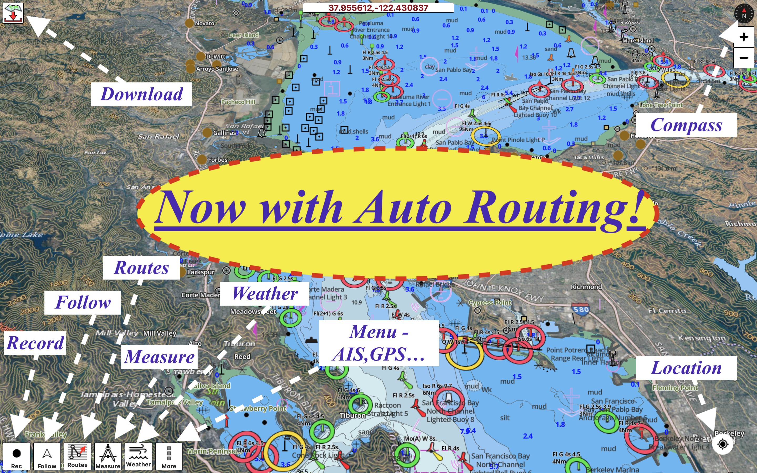
The automatic routing engine simplifies trip planning by calculating safe paths based on your vessel's draft, optimizing your journey for distance, time, and fuel consumption while automatically avoiding known maritime hazards and obstructions. Additionally, the system supports NMEA instrumentation, enabling users to integrate AIS data, wind speed, wind direction, and sonar depth inputs directly into their navigation interface.
Who Is This Marine App For?
Whether you are a professional yacht captain navigating coastal approaches or a weekend angler trolling freshwater lakes, this tool provides critical spatial awareness. With integrated tide and current predictions, custom depth safety shading, and seamless GPX/KML route import capabilities, it serves as a highly versatile digital companion for any modern boater.
If you are ready to upgrade your maritime navigation setup, you can learn more and view download options directly on the official Microsoft Store page for i-Boating : Marine Navigation Charts & Lake Maps GPS.